
Log into PuzzleMap™
Leaving PuzzleMap™?

4th Grade with Ms. McConathy
The Sage Surveyors


The United States in 1776
These are the 13 newly-minted US states as they were understood by the Founding Fathers in 1776. Some borders were poorly defined and there were conficting claims to the unexplored territory in the west but most of these original states already had their familiar shape. What is now Maine, however, was a part of Massachusetts and Virigina included all of the vast Northwestern wilderness. What other differences can you find?
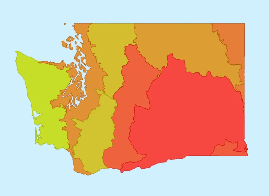
Washington Ecoregions
This puzzle involves the different ecological regions found in the state of Washington. These regions are defined by distinct communities of native plants and animals. Species that coexist and depend on each other are called an ecosystem. Geography is a critical factor in providing favorable habitat and conditions for an ecosystem and the terrain tends to be fairly consistent within each region. Ecoregions are the "natural nations" of our planet.

Beautiful Japan
The 47 "prefectures" of Japan are like states or provinces in other countries. Each has its own elected legislature and governor and they are traditionally grouped into 8 informal regions that correspond to the color of each piece in this puzzle.
Most prefecture names refer to a distinctive feature or describe the landscape. Placenames like this are called toponyms. Toponyms are very common everwhere in the world and you should be able to think of some near you.
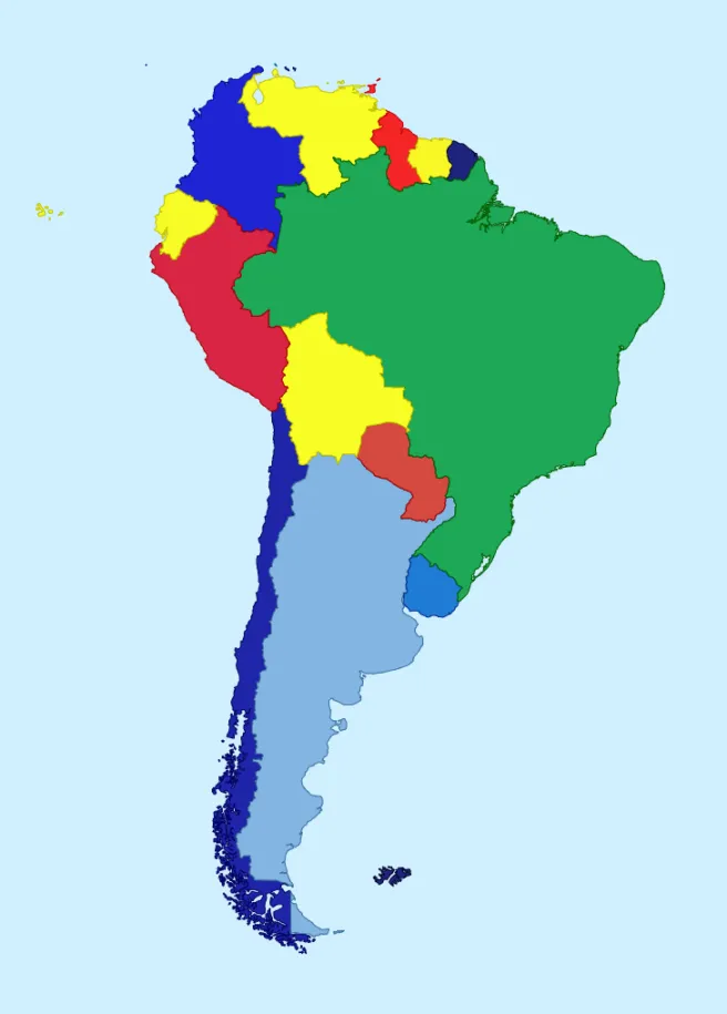
Countries of South America
This puzzle inclues the 13 nations that share the South American mainland and 5 more on nearby islands. They all began as European colonies and all are indepent countries today with 2 exceptions. One is a special municipality of the Netherlands and another is a region of France! There are many other interestings things in this puzzle to discover from lost cities to spaceports.

The United States Today
This is the original PuzzleMap and it's packed with information about the landscape, climate, people and economies of all 50 US states plus the District of Columbia. You can click or touch on those items in the Clue Window to learn what makes each one unique.
The Climate topic, for example, provides average temperatures and precipitation. Drier states are more red in color and wetter state are more green. That makes a rainfall pattern when the puzzle is complete. A map that displays information like this is called a choropleth.